Explore a broad range of materials to learn about the background and current state of affordable housing in Colorado.

Housing Tax Credit Developments
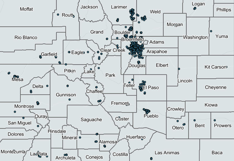
This map includes active developments in Colorado that have been supported by Housing Tax Credits. Housing Tax Credits support the development and preservation of affordable rental housing. The data is updated annually.

The Gap Map

CHFA Multifamily Portfolio Reports

Colorado Affordable Housing Database
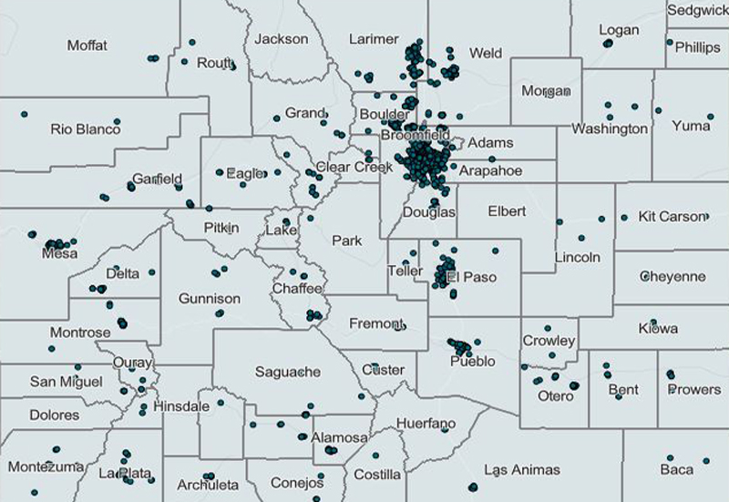
This map is a resource for external partners and customers to help understand the existing affordable housing stock across Colorado. It reflects properties from CHFA’s portfolio as well as data from external partners including Colorado Division of Housing (DOH), City and County of Denver, U.S. Department of Agriculture (USDA), and U.S. Department of Housing and Urban Development (HUD). Properties included on this map receive or have received an incentive to ensure their affordability. Examples of incentives could include rent supplements, below-market financing, and/or Housing Tax Credits. The search bar on the map allows for searching by address or by property name.
Because the data in this map comes from several sources, including external partners, the data is updated at staggered intervals. Data from CHFA’s portfolio is updated annually.

CHFA Affordable Housing Development Cost Dashboard

Housing Tax Credit Building Electrification Report

Colorado Statewide Apartment Survey

Comparison of Multifamily Green Building Certifications Report

Colorado Multifamily Affordable Housing Electrification Hub

